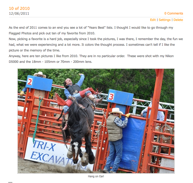
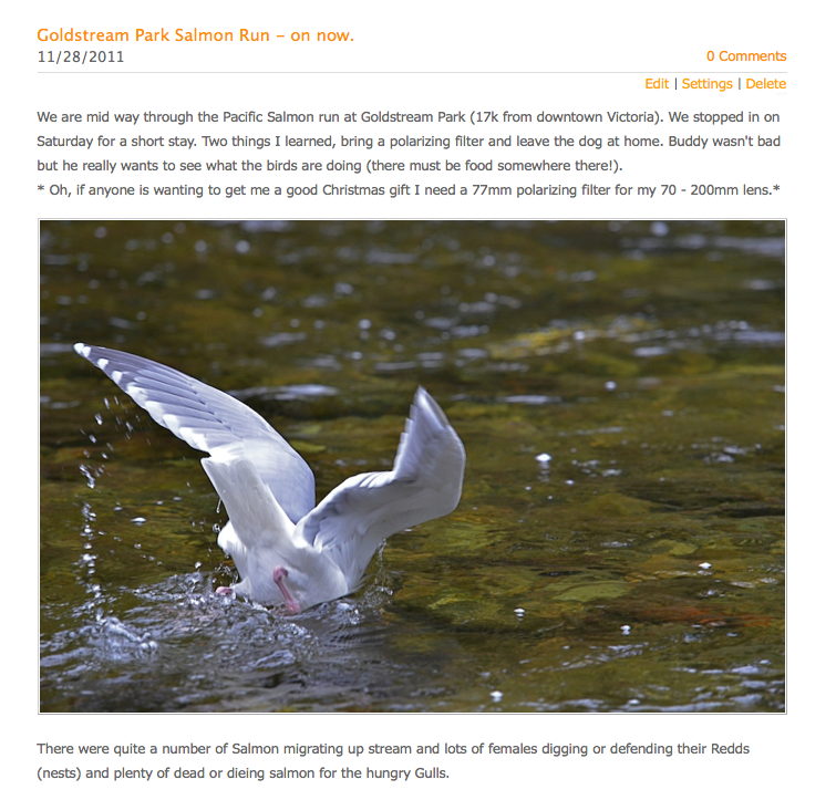
If you love fresh seafood right off the boat the Cowichan Bay Spot Prawn Festival was the place for you on Mothers Day Weekend.
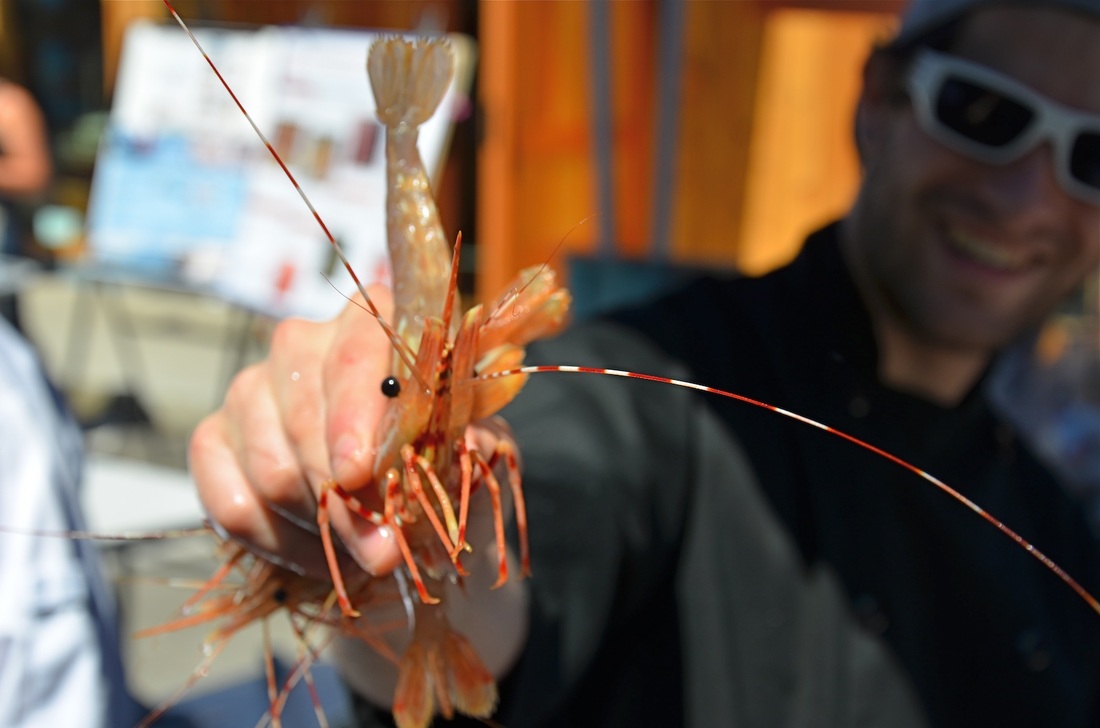
Now here is a happy looking Spot Prawn, the music, people dancing and having a great time, the smell of the garlic in the Cesar Salad I don't think he knows about the pot of boiling water he's just headed for seconds from now.
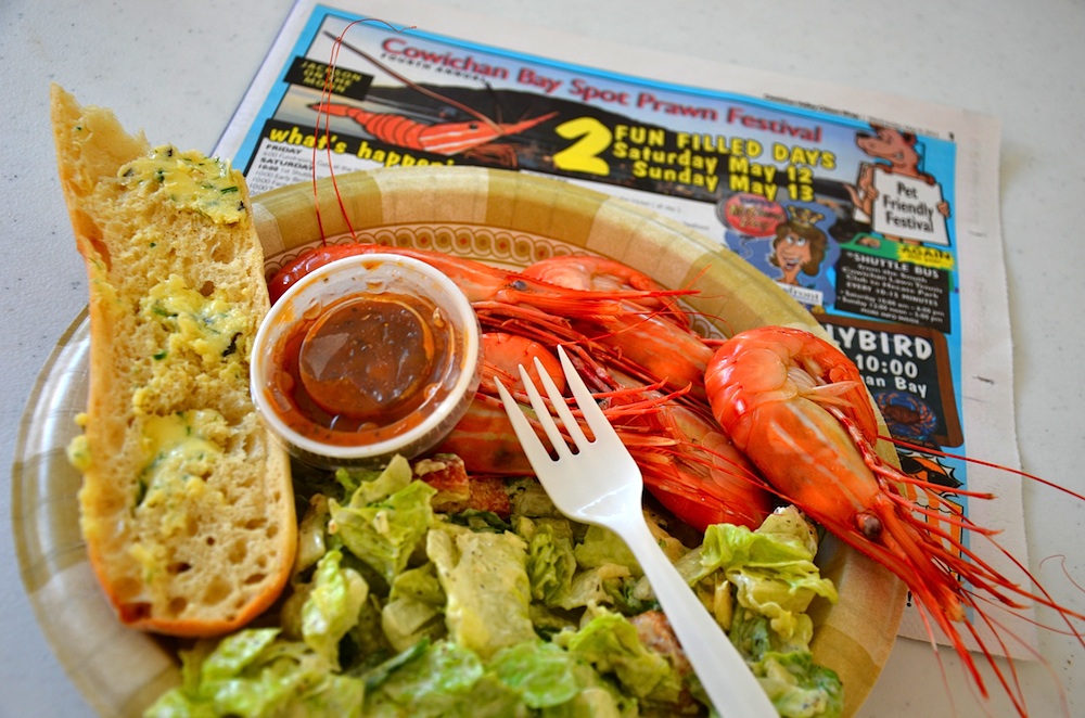
Here he is minutes later with the fixings for a tasty lunch. Cesar salad Garlic bread and Chutney.
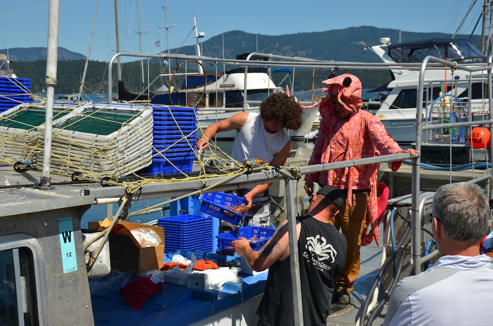
He's the one on the right, I think.
He's the one on the right, I think.
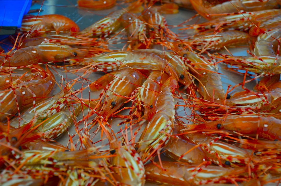
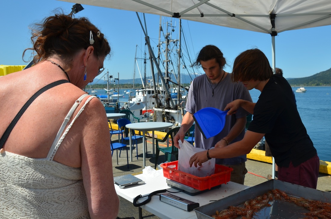
Two Lbs, yes pounds, or .09 of a kelo for $10 fresh off the boat. For an extra dollar a pound a big burly fisherman will twist their heads off for you.
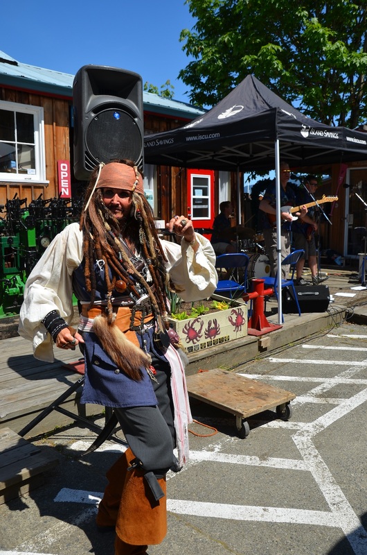
Here's "Captain Jack" Cowichan Bay's seafaring event mascot dancing to one of the many bands entertaining
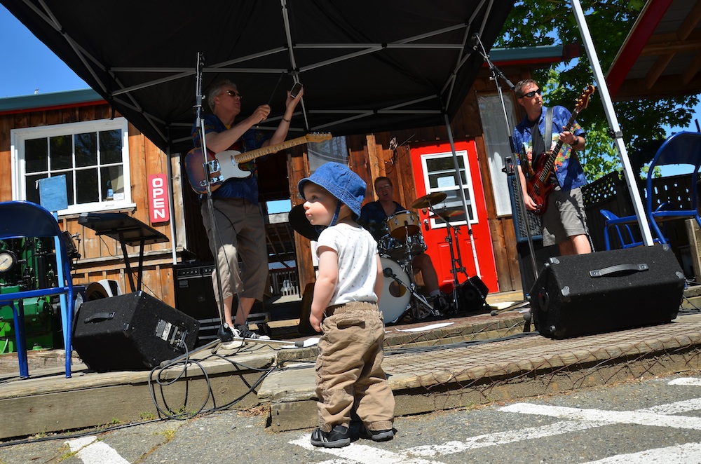
the crowds of visitors to the festival. Below a small Fan listens to the band.
the crowds of visitors to the festival. Below a small Fan listens to the band.
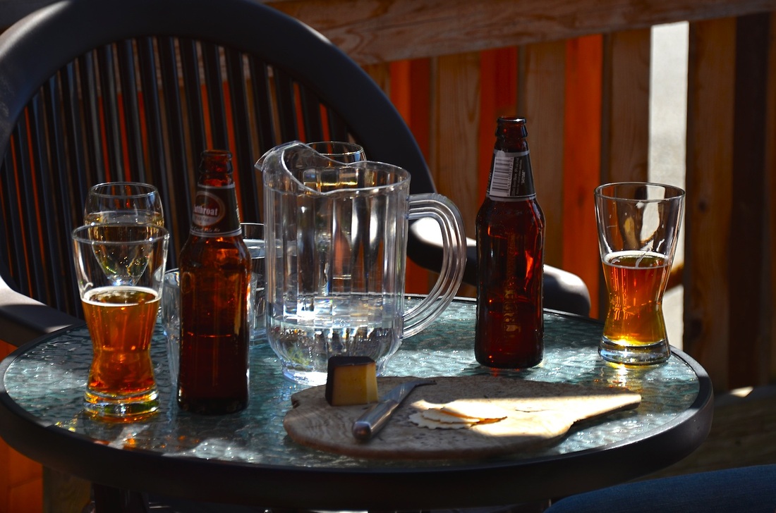
Beer and Cheese from Hilliary's Cheese shop.
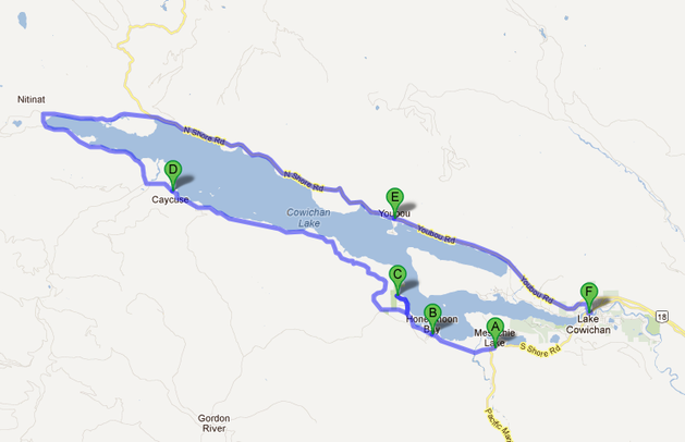
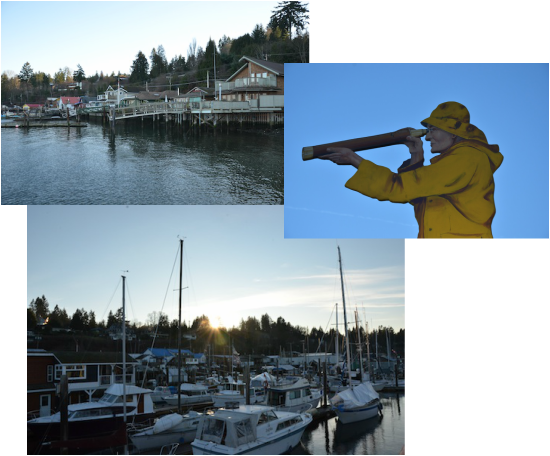
Visit Cowichan Bay some time this summer, Kayaking, Whale watching, Boat Docks, Art and Pottery shops are a-plenty plus some of the best Clam Chowder on the coast. If you visit on a non festival time it is normally a
quiet fishing village, a nice place to enjoy the ocean.
quiet fishing village, a nice place to enjoy the ocean.
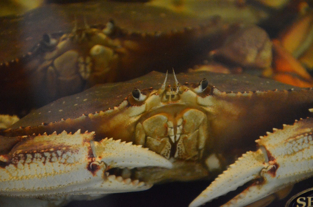
Although he's not a clam, I'm sure he's as happy as one. All the heat is off this crab and his friends today with everyone feasting on Spot Prawns and not him.


 RSS Feed